The bottom of Strawberry Hill
Introduction
The photograph on this page of The bottom of Strawberry Hill by Neil Owen as part of the Geograph project.
The Geograph project started in 2005 with the aim of publishing, organising and preserving representative images for every square kilometre of Great Britain, Ireland and the Isle of Man.

There are currently over 7.5m images from over 14,400 individuals and you can help contribute to the project by visiting https://www.geograph.org.uk
The bottom of Strawberry Hill
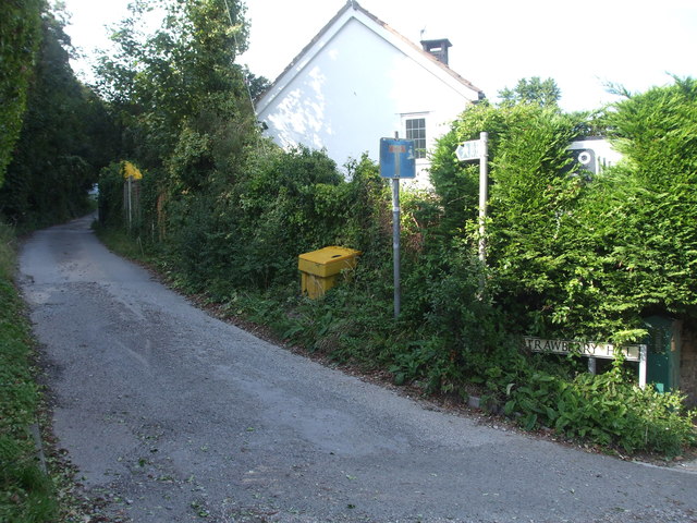
Image: © Neil Owen Taken: 31 Aug 2020
The lane is an older part of what was a more rural area before modern Clevedon encroached. There were a few quarries and kilns in the past.
Images are licensed for reuse under creativecommons.org/licenses/by-sa/2.0
Image Location
Latitude
51.441626
Longitude
-2.841787