Strelley Hall Stables: another view
Introduction
The photograph on this page of Strelley Hall Stables: another view by Kate Jewell as part of the Geograph project.
The Geograph project started in 2005 with the aim of publishing, organising and preserving representative images for every square kilometre of Great Britain, Ireland and the Isle of Man.

There are currently over 7.5m images from over 14,400 individuals and you can help contribute to the project by visiting https://www.geograph.org.uk
Strelley Hall Stables: another view
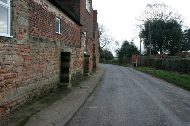
Image: © Kate Jewell Taken: 14 Jan 2008
Looking in the opposite direction to Image The uneven paving on the pavement is due to the very old Monks Way stones; see Image The gateway to Image is on the right.
Images are licensed for reuse under creativecommons.org/licenses/by-sa/2.0
Image Location
Latitude
52.974682
Longitude
-1.247923