Former Cromford and High Peak Railway bridge
Introduction
The photograph on this page of Former Cromford and High Peak Railway bridge by Chris Allen as part of the Geograph project.
The Geograph project started in 2005 with the aim of publishing, organising and preserving representative images for every square kilometre of Great Britain, Ireland and the Isle of Man.

There are currently over 7.5m images from over 14,400 individuals and you can help contribute to the project by visiting https://www.geograph.org.uk
Former Cromford and High Peak Railway bridge
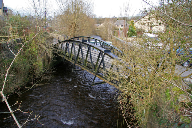
Image: © Chris Allen Taken: 15 Mar 2009
Crossing the River Goyt at Whaley Bridge. In this direction it leads to the transhipment warehouse at the Peak Forest Canal. The bridge is now a footbridge.
Images are licensed for reuse under creativecommons.org/licenses/by-sa/2.0
Image Location
Latitude
53.330323
Longitude
-1.982843