Watstone Road, Stonehouse
Introduction
The photograph on this page of Watstone Road, Stonehouse by wrobison as part of the Geograph project.
The Geograph project started in 2005 with the aim of publishing, organising and preserving representative images for every square kilometre of Great Britain, Ireland and the Isle of Man.

There are currently over 7.5m images from over 14,400 individuals and you can help contribute to the project by visiting https://www.geograph.org.uk
Watstone Road, Stonehouse
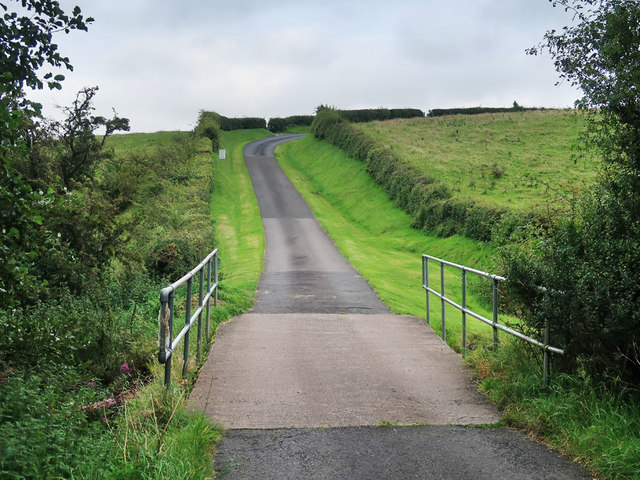
Image: © wrobison Taken: 8 Sep 2020
A single track road to Watstone. The bridge takes the road over the Watstone Burn and the sign near the top of the hill warns drivers to keep off the soft grass verges.
Images are licensed for reuse under creativecommons.org/licenses/by-sa/2.0
Image Location
Latitude
55.697898
Longitude
-3.971787