Field of Maize near Rushley Manor
Introduction
The photograph on this page of Field of Maize near Rushley Manor by Jonathan Clitheroe as part of the Geograph project.
The Geograph project started in 2005 with the aim of publishing, organising and preserving representative images for every square kilometre of Great Britain, Ireland and the Isle of Man.

There are currently over 7.5m images from over 14,400 individuals and you can help contribute to the project by visiting https://www.geograph.org.uk
Field of Maize near Rushley Manor
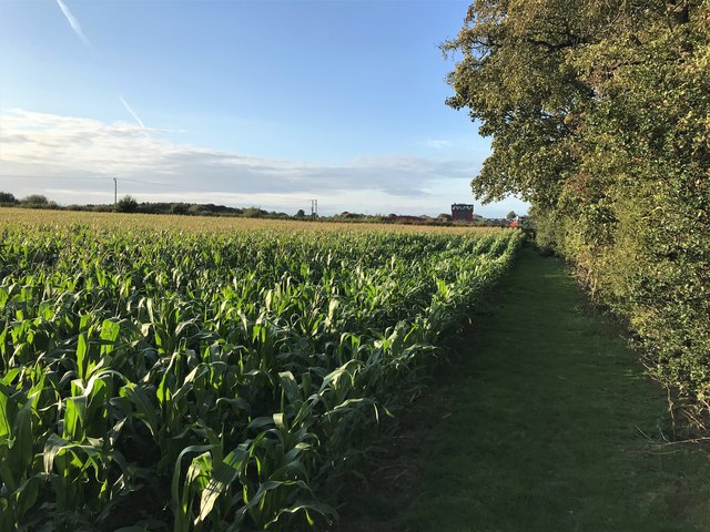
Image: © Jonathan Clitheroe Taken: 12 Sep 2020
Footpath approaching the southern outskirts of Mansfield. The Vision University Centre and West Nottinghamshire College can be seen on the horizon.
Images are licensed for reuse under creativecommons.org/licenses/by-sa/2.0
Image Location
Latitude
53.117502
Longitude
-1.190001