Weterton House Farm north of Sedgefield
Introduction
The photograph on this page of Weterton House Farm north of Sedgefield by Ian S as part of the Geograph project.
The Geograph project started in 2005 with the aim of publishing, organising and preserving representative images for every square kilometre of Great Britain, Ireland and the Isle of Man.

There are currently over 7.5m images from over 14,400 individuals and you can help contribute to the project by visiting https://www.geograph.org.uk
Weterton House Farm north of Sedgefield
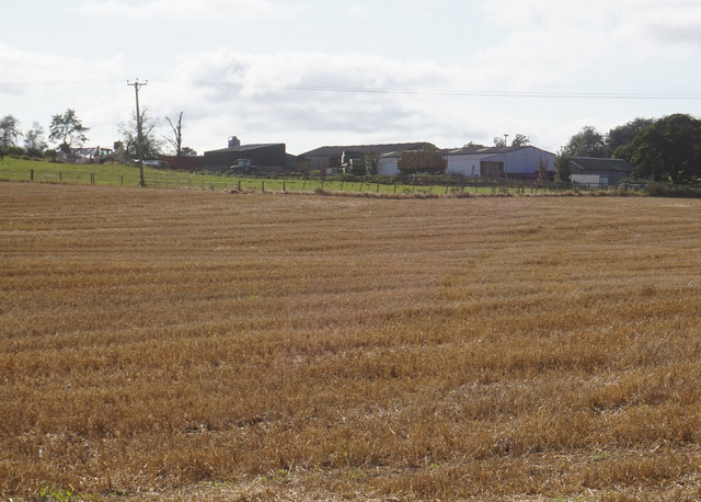
Image: © Ian S Taken: 13 Sep 2020
Taken to replicate the first image submitted for this square (2004). https://www.geograph.org.uk/photo/54877 This is as close as I could get without trespassing.
Images are licensed for reuse under creativecommons.org/licenses/by-sa/2.0
Image Location
Latitude
54.669902
Longitude
-1.440693