Cowleymoor Road, Tiverton
Introduction
The photograph on this page of Cowleymoor Road, Tiverton by Meg Hepworth as part of the Geograph project.
The Geograph project started in 2005 with the aim of publishing, organising and preserving representative images for every square kilometre of Great Britain, Ireland and the Isle of Man.

There are currently over 7.5m images from over 14,400 individuals and you can help contribute to the project by visiting https://www.geograph.org.uk
Cowleymoor Road, Tiverton
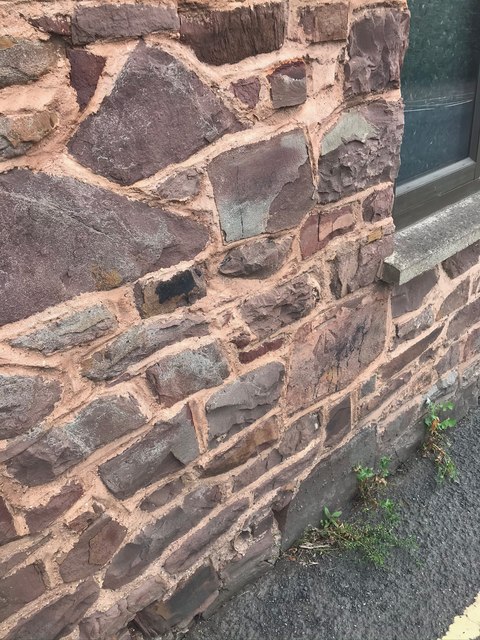
Image: © Meg Hepworth Taken: 10 Sep 2020
69.89m above Ordnance Datum Newlyn (Tide Gauge Bolt Newlyn Pier - the authoritative datum for the UK). It was last verified in 1969. Grid ref: SS 9608 1319. Description: BLDG SE SIDE COWLEY MOOR RD NW FACE 3.7M W ANG. Close up Image
Images are licensed for reuse under creativecommons.org/licenses/by-sa/2.0
Image Location
Latitude
50.908794
Longitude
-3.479449