Dumbreck Marsh Local Nature Reserve
Introduction
The photograph on this page of Dumbreck Marsh Local Nature Reserve by Richard Sutcliffe as part of the Geograph project.
The Geograph project started in 2005 with the aim of publishing, organising and preserving representative images for every square kilometre of Great Britain, Ireland and the Isle of Man.

There are currently over 7.5m images from over 14,400 individuals and you can help contribute to the project by visiting https://www.geograph.org.uk
Dumbreck Marsh Local Nature Reserve
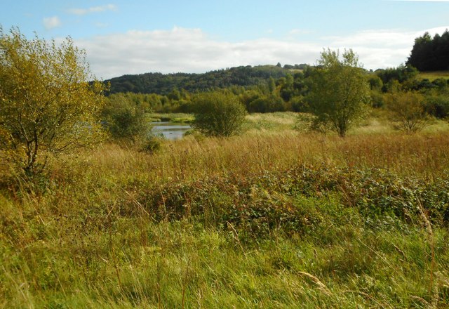
Image: © Richard Sutcliffe Taken: 9 Sep 2020
In the past this was an area of coke and coal waste with mineral railways lines. Today the site includes ponds and large areas of grassland, supporting grassland and wetland birds and other species.
Images are licensed for reuse under creativecommons.org/licenses/by-sa/2.0
Image Location
Latitude
55.972998
Longitude
-4.075028