The remaining houses in Troedrhiwgwair
Introduction
The photograph on this page of The remaining houses in Troedrhiwgwair by Robin Drayton as part of the Geograph project.
The Geograph project started in 2005 with the aim of publishing, organising and preserving representative images for every square kilometre of Great Britain, Ireland and the Isle of Man.

There are currently over 7.5m images from over 14,400 individuals and you can help contribute to the project by visiting https://www.geograph.org.uk
The remaining houses in Troedrhiwgwair
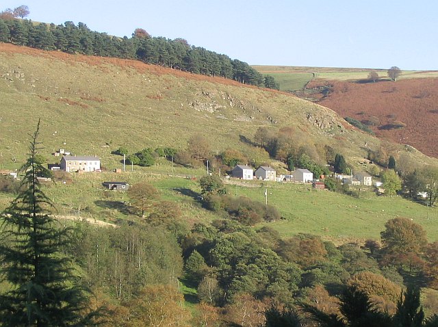
Image: © Robin Drayton Taken: 4 Nov 2006
Viewed across the Sirhowy Valley, Troedrhiwgwair was originally known as Himalaya Range. http://web.ukonline.co.uk/b.gardner/tredegar/troed.html
Images are licensed for reuse under creativecommons.org/licenses/by-sa/2.0
Image Location
Latitude
51.752733
Longitude
-3.22089