Bridport Road, Poundbury
Introduction
The photograph on this page of Bridport Road, Poundbury by Malc McDonald as part of the Geograph project.
The Geograph project started in 2005 with the aim of publishing, organising and preserving representative images for every square kilometre of Great Britain, Ireland and the Isle of Man.

There are currently over 7.5m images from over 14,400 individuals and you can help contribute to the project by visiting https://www.geograph.org.uk
Bridport Road, Poundbury
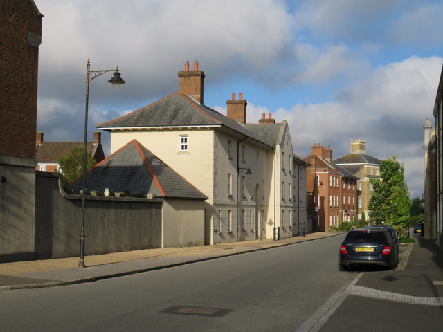
Image: © Malc McDonald Taken: 18 Aug 2020
Bridport Road in the recently-built "urban village" of Poundbury. Bridport Road follows the route of a Roman road westwards. It was also part of the route of the trunk A35 road until Dorchester's by-pass was built and opened. The houses are a much more recent addition to the scene. Poundbury has been developed in stages since the 1990s.
Images are licensed for reuse under creativecommons.org/licenses/by-sa/2.0
Image Location
Latitude
50.712213
Longitude
-2.465073