Re-aligned road
Introduction
The photograph on this page of Re-aligned road by Robert Graham as part of the Geograph project.
The Geograph project started in 2005 with the aim of publishing, organising and preserving representative images for every square kilometre of Great Britain, Ireland and the Isle of Man.

There are currently over 7.5m images from over 14,400 individuals and you can help contribute to the project by visiting https://www.geograph.org.uk
Re-aligned road
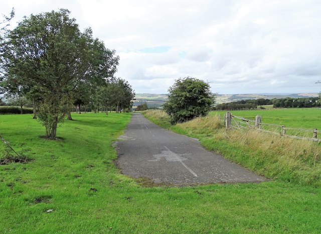
Image: © Robert Graham Taken: 4 Sep 2020
This now redundant short stretch of road resulted from the re-alignment of the east end of Elm Park Road at its junction with the B6308. The new route is on the right hand side of the picture, although hidden behind the bank.
Images are licensed for reuse under creativecommons.org/licenses/by-sa/2.0
Image Location
Latitude
54.870834
Longitude
-1.824046