Cycle route (NCN26) by A37 at Higher Wrackleford
Introduction
The photograph on this page of Cycle route (NCN26) by A37 at Higher Wrackleford by David Smith as part of the Geograph project.
The Geograph project started in 2005 with the aim of publishing, organising and preserving representative images for every square kilometre of Great Britain, Ireland and the Isle of Man.

There are currently over 7.5m images from over 14,400 individuals and you can help contribute to the project by visiting https://www.geograph.org.uk
Cycle route (NCN26) by A37 at Higher Wrackleford
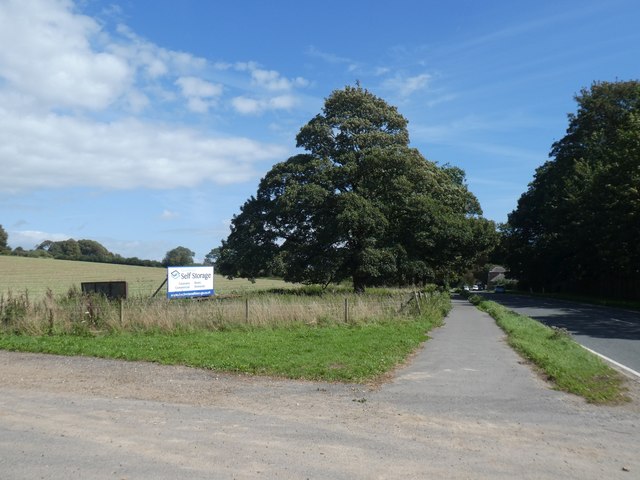
Image: © David Smith Taken: 26 Aug 2020
With an advert for an out-of-town self-storage site
Images are licensed for reuse under creativecommons.org/licenses/by-sa/2.0
Image Location
Latitude
50.737612
Longitude
-2.477511