Field edge near Gorstley Rough
Introduction
The photograph on this page of Field edge near Gorstley Rough by Ian Capper as part of the Geograph project.
The Geograph project started in 2005 with the aim of publishing, organising and preserving representative images for every square kilometre of Great Britain, Ireland and the Isle of Man.

There are currently over 7.5m images from over 14,400 individuals and you can help contribute to the project by visiting https://www.geograph.org.uk
Field edge near Gorstley Rough
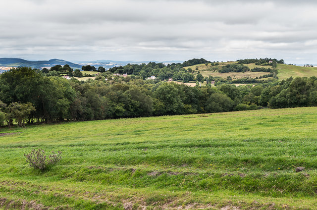
Image: © Ian Capper Taken: 6 Aug 2020
A field near Gorstley Rough with Caynham Road in Knowbury in the middle distance and Bringewood above Ludlow in the far right distance.
Images are licensed for reuse under creativecommons.org/licenses/by-sa/2.0
Image Location
Latitude
52.371297
Longitude
-2.608421