St Andrew's Place, Bruntcliffe
Introduction
The photograph on this page of St Andrew's Place, Bruntcliffe by Stephen Craven as part of the Geograph project.
The Geograph project started in 2005 with the aim of publishing, organising and preserving representative images for every square kilometre of Great Britain, Ireland and the Isle of Man.

There are currently over 7.5m images from over 14,400 individuals and you can help contribute to the project by visiting https://www.geograph.org.uk
St Andrew's Place, Bruntcliffe
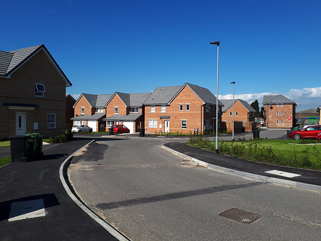
Image: © Stephen Craven Taken: 1 Sep 2020
A new housing development off Bruntcliffe Road, named after a nearby church Image Many of these houses were already occupied, presumably having been bought "off plan".
Images are licensed for reuse under creativecommons.org/licenses/by-sa/2.0
Image Location
Latitude
53.739951
Longitude
-1.620031