Gover Viaduct
Introduction
The photograph on this page of Gover Viaduct by Duncan C Hill as part of the Geograph project.
The Geograph project started in 2005 with the aim of publishing, organising and preserving representative images for every square kilometre of Great Britain, Ireland and the Isle of Man.

There are currently over 7.5m images from over 14,400 individuals and you can help contribute to the project by visiting https://www.geograph.org.uk
Gover Viaduct
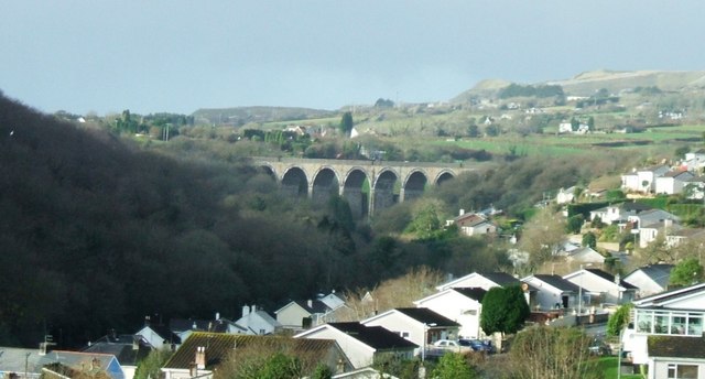
Image: © Duncan C Hill Taken: 29 Dec 2007
Gover Viaduct, near St Austell, on the Cornish Mainline. In the background can be seen waste tips from the china-clay industry.
Images are licensed for reuse under creativecommons.org/licenses/by-sa/2.0
Image Location
Latitude
50.341911
Longitude
-4.814955