Bournemouth Gardens: footbridge and steps
Introduction
The photograph on this page of Bournemouth Gardens: footbridge and steps by Chris Downer as part of the Geograph project.
The Geograph project started in 2005 with the aim of publishing, organising and preserving representative images for every square kilometre of Great Britain, Ireland and the Isle of Man.

There are currently over 7.5m images from over 14,400 individuals and you can help contribute to the project by visiting https://www.geograph.org.uk
Bournemouth Gardens: footbridge and steps
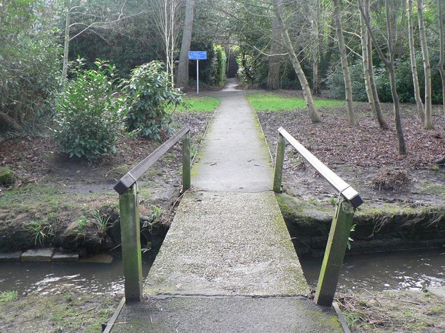
Image: © Chris Downer Taken: 12 Jan 2008
Another view across the Bourne Stream, about ⅓ of the way down the Gardens on their 2½-mile journey to Bournemouth pier. In the background are steps to Surrey Road
Images are licensed for reuse under creativecommons.org/licenses/by-sa/2.0
Image Location


Leaflet Map data © OpenStreetMap
Latitude
50.725958
Longitude
-1.899925