Bournemouth Gardens: elevated walkway
Introduction
The photograph on this page of Bournemouth Gardens: elevated walkway by Chris Downer as part of the Geograph project.
The Geograph project started in 2005 with the aim of publishing, organising and preserving representative images for every square kilometre of Great Britain, Ireland and the Isle of Man.

There are currently over 7.5m images from over 14,400 individuals and you can help contribute to the project by visiting https://www.geograph.org.uk
Bournemouth Gardens: elevated walkway
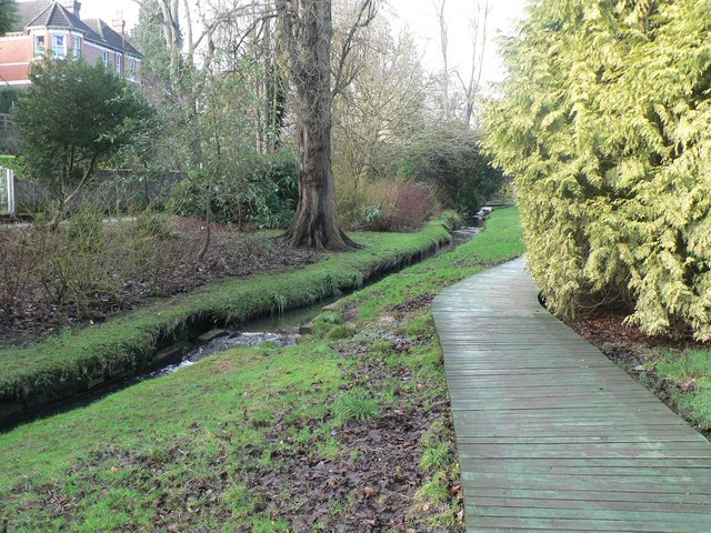
Image: © Chris Downer Taken: 12 Jan 2008
This section of the path alongside the Bourne Stream is an elevated wooden walkway.
Images are licensed for reuse under creativecommons.org/licenses/by-sa/2.0
Image Location
Latitude
50.726589
Longitude
-1.901341