Bournemouth Gardens: concrete channel
Introduction
The photograph on this page of Bournemouth Gardens: concrete channel by Chris Downer as part of the Geograph project.
The Geograph project started in 2005 with the aim of publishing, organising and preserving representative images for every square kilometre of Great Britain, Ireland and the Isle of Man.

There are currently over 7.5m images from over 14,400 individuals and you can help contribute to the project by visiting https://www.geograph.org.uk
Bournemouth Gardens: concrete channel
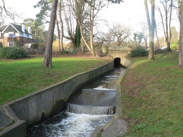
Image: © Chris Downer Taken: 12 Jan 2008
Right on the boundary of the boroughs of Bournemouth and Poole, the Bourne Stream is led through this brief concrete channel, with about 1½ miles to go before it reaches the sea at Bournemouth pier. The bridge in the background is Image
Images are licensed for reuse under creativecommons.org/licenses/by-sa/2.0
Image Location


Leaflet Map data © OpenStreetMap
Latitude
50.72839
Longitude
-1.904171