Bournemouth Gardens: borough boundary
Introduction
The photograph on this page of Bournemouth Gardens: borough boundary by Chris Downer as part of the Geograph project.
The Geograph project started in 2005 with the aim of publishing, organising and preserving representative images for every square kilometre of Great Britain, Ireland and the Isle of Man.

There are currently over 7.5m images from over 14,400 individuals and you can help contribute to the project by visiting https://www.geograph.org.uk
Bournemouth Gardens: borough boundary
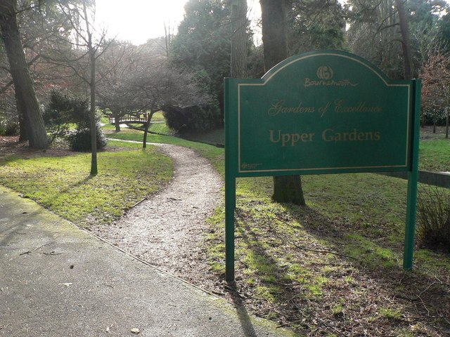
Image: © Chris Downer Taken: 12 Jan 2008
Having just crossed Branksome Wood Road, we almost immediately cross the boundary from Poole into Bournemouth. This sign welcomes us to the latter.
Images are licensed for reuse under creativecommons.org/licenses/by-sa/2.0
Image Location


Leaflet Map data © OpenStreetMap
Latitude
50.7283
Longitude
-1.903888