Pastures, Quainton
Introduction
The photograph on this page of Pastures, Quainton by Andrew Smith as part of the Geograph project.
The Geograph project started in 2005 with the aim of publishing, organising and preserving representative images for every square kilometre of Great Britain, Ireland and the Isle of Man.

There are currently over 7.5m images from over 14,400 individuals and you can help contribute to the project by visiting https://www.geograph.org.uk
Pastures, Quainton
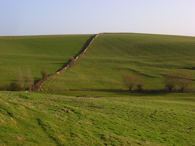
Image: © Andrew Smith Taken: 5 Jan 2008
Looking up to Denham Hill. The boundary is a mixture of old brick wall, hedge and fence.
Images are licensed for reuse under creativecommons.org/licenses/by-sa/2.0
Image Location
Latitude
51.880622
Longitude
-0.900207