Portbury Lane
Introduction
The photograph on this page of Portbury Lane by Roger Cornfoot as part of the Geograph project.
The Geograph project started in 2005 with the aim of publishing, organising and preserving representative images for every square kilometre of Great Britain, Ireland and the Isle of Man.

There are currently over 7.5m images from over 14,400 individuals and you can help contribute to the project by visiting https://www.geograph.org.uk
Portbury Lane
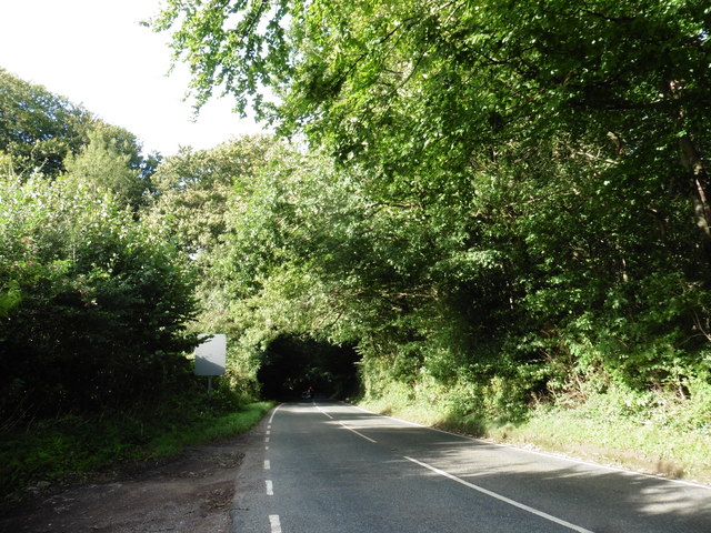
Image: © Roger Cornfoot Taken: 26 Aug 2020
The sign on the left is unveiled when there is a risk of ice: Image
Images are licensed for reuse under creativecommons.org/licenses/by-sa/2.0
Image Location
Latitude
51.451631
Longitude
-2.71648