Mains Cottages
Introduction
The photograph on this page of Mains Cottages by Andrew Wood as part of the Geograph project.
The Geograph project started in 2005 with the aim of publishing, organising and preserving representative images for every square kilometre of Great Britain, Ireland and the Isle of Man.

There are currently over 7.5m images from over 14,400 individuals and you can help contribute to the project by visiting https://www.geograph.org.uk
Mains Cottages
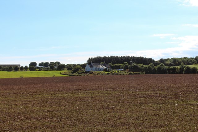
Image: © Andrew Wood Taken: 31 Aug 2020
Mains of Waterton Cottages with the light green of a late sown crop in front and woodland behind. Mains of Waterton itself can be seen on the left rear.
Images are licensed for reuse under creativecommons.org/licenses/by-sa/2.0
Image Location
Latitude
57.365597
Longitude
-2.02675