Remains of Harpercroft Fort defence wall
Introduction
The photograph on this page of Remains of Harpercroft Fort defence wall by Mary and Angus Hogg as part of the Geograph project.
The Geograph project started in 2005 with the aim of publishing, organising and preserving representative images for every square kilometre of Great Britain, Ireland and the Isle of Man.

There are currently over 7.5m images from over 14,400 individuals and you can help contribute to the project by visiting https://www.geograph.org.uk
Remains of Harpercroft Fort defence wall
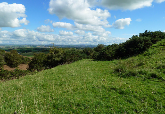
Image: © Mary and Angus Hogg Taken: 24 Aug 2020
The 1857 OS map shows the Harpercroft site, close to Wardlaw Hill Fort, as a camp which, according to the 1857 OS Name Book, possibly dates from Roman times. This shot shows the north-western outer defences which take advantage of the steep slope.
Images are licensed for reuse under creativecommons.org/licenses/by-sa/2.0
Image Location
Latitude
55.559856
Longitude
-4.602368