Redhall Crescent, Beeston
Introduction
The photograph on this page of Redhall Crescent, Beeston by Stephen Craven as part of the Geograph project.
The Geograph project started in 2005 with the aim of publishing, organising and preserving representative images for every square kilometre of Great Britain, Ireland and the Isle of Man.

There are currently over 7.5m images from over 14,400 individuals and you can help contribute to the project by visiting https://www.geograph.org.uk
Redhall Crescent, Beeston
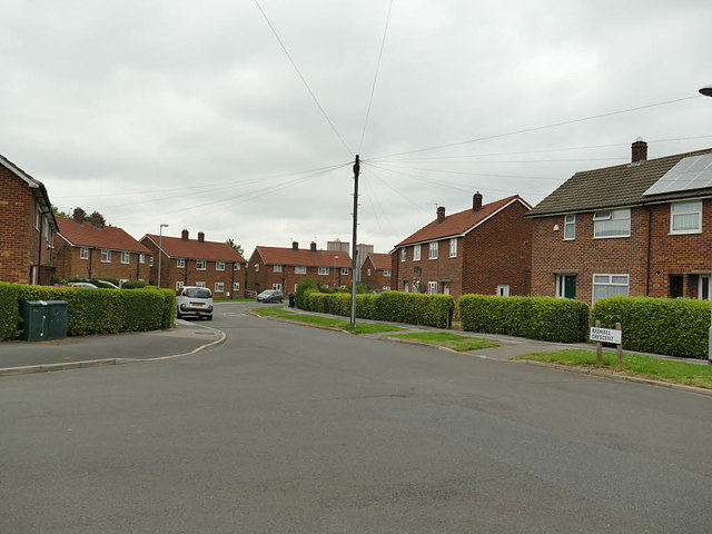
Image: © Stephen Craven Taken: 15 Aug 2020
This estate takes its name from the nearby Red Hall Farm, which no longer exists.
Images are licensed for reuse under creativecommons.org/licenses/by-sa/2.0
Image Location
Latitude
53.76819
Longitude
-1.571684