Under St George's road bridge
Introduction
The photograph on this page of Under St George's road bridge by Chris Morgan as part of the Geograph project.
The Geograph project started in 2005 with the aim of publishing, organising and preserving representative images for every square kilometre of Great Britain, Ireland and the Isle of Man.

There are currently over 7.5m images from over 14,400 individuals and you can help contribute to the project by visiting https://www.geograph.org.uk
Under St George's road bridge
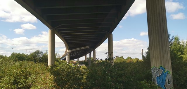
Image: © Chris Morgan Taken: 24 Aug 2020
Where the A19 crosses railways and the River Don.
Images are licensed for reuse under creativecommons.org/licenses/by-sa/2.0
Image Location
Latitude
53.529385
Longitude
-1.140076