North Downs dip slope plateau south-west of Ringlestone
Introduction
The photograph on this page of North Downs dip slope plateau south-west of Ringlestone by David Kemp as part of the Geograph project.
The Geograph project started in 2005 with the aim of publishing, organising and preserving representative images for every square kilometre of Great Britain, Ireland and the Isle of Man.

There are currently over 7.5m images from over 14,400 individuals and you can help contribute to the project by visiting https://www.geograph.org.uk
North Downs dip slope plateau south-west of Ringlestone
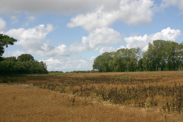
Image: © David Kemp Taken: 22 Aug 2020
This part of the dip slope side of the North Downs is characterised by a mixture of dry valleys and plateaux. The footpath can be seen in the foreground.
Images are licensed for reuse under creativecommons.org/licenses/by-sa/2.0
Image Location
Latitude
51.262552
Longitude
0.680165