
Track, Weetslade Country Park
Introduction
The photograph on this page of Track, Weetslade Country Park by Geoff Holland as part of the Geograph project.
The Geograph project started in 2005 with the aim of publishing, organising and preserving representative images for every square kilometre of Great Britain, Ireland and the Isle of Man.

There are currently over 7.5m images from over 14,400 individuals and you can help contribute to the project by visiting https://www.geograph.org.uk
Track, Weetslade Country Park
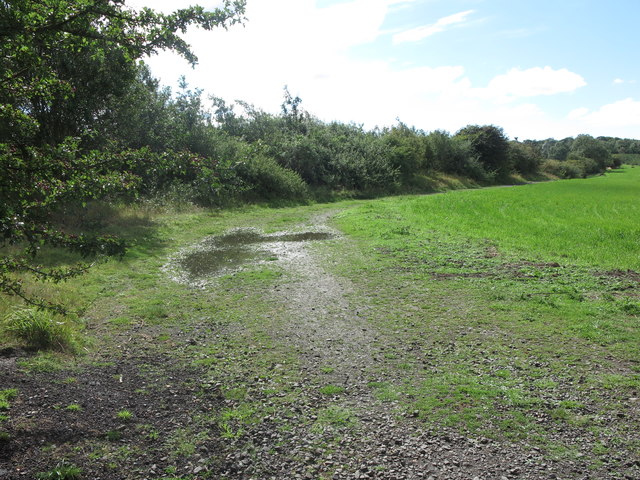
Image: © Geoff Holland Taken: 24 Aug 2020
This track heads away from the Bird Feeding Area https://www.geograph.org.uk/photo/6560427 at Weetslade Country Park towards Sandy Lane Industrial Estate. Located on the site of the former Weetslade Colliery, this 38 hectare reserve has been extensively landscaped to create a wildlife haven with a central hill, grassland, scrub, reedbed and woodland areas. The highest point is 95 metres above sea level from where it is possible to see both the North Sea and the more distant Cheviot Hills. Weetslade Colliery opened in 1903 and had workings connected with the nearby Burradon Colliery, though the two mines had separate ventilation systems. It closed in 1966 although it continued as a washery until it was finally abandoned in 1980. The Country Park opened in 2006 and is managed by the Northumberland Wildlife Trust on behalf of the Land Trust. For a selection of detailed free to download walking routes in the area visit www.northtynesidewalks.co.uk
Images are licensed for reuse under creativecommons.org/licenses/by-sa/2.0
Image Location

Latitude
55.045385
Longitude
-1.608722