Cliffe Cottage, Cripps Lane
Introduction
The photograph on this page of Cliffe Cottage, Cripps Lane by John Baker as part of the Geograph project.
The Geograph project started in 2005 with the aim of publishing, organising and preserving representative images for every square kilometre of Great Britain, Ireland and the Isle of Man.

There are currently over 7.5m images from over 14,400 individuals and you can help contribute to the project by visiting https://www.geograph.org.uk
Cliffe Cottage, Cripps Lane
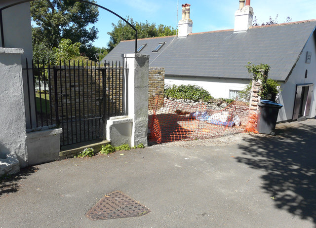
Image: © John Baker Taken: 30 Jul 2020
Planning permission has been granted by Dover District Council under application number DOV/18/00241 for the “removal and replacement of front wall (new wall to be erected to the north) and creation of parking”. This was Image, after the parking place had being created.
Images are licensed for reuse under creativecommons.org/licenses/by-sa/2.0
Image Location
Latitude
51.154063
Longitude
1.372259