Boosbeck Miners' Institiute
Introduction
The photograph on this page of Boosbeck Miners' Institiute by Humphrey Bolton as part of the Geograph project.
The Geograph project started in 2005 with the aim of publishing, organising and preserving representative images for every square kilometre of Great Britain, Ireland and the Isle of Man.

There are currently over 7.5m images from over 14,400 individuals and you can help contribute to the project by visiting https://www.geograph.org.uk
Boosbeck Miners' Institiute
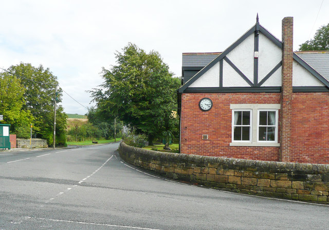
Image: © Humphrey Bolton Taken: 2 Aug 2020
The clock is part of a war memorial to men of Boosbeck, Margrove Park and Charltons Terrace who lost their lives in the two World Wars. The other part is the inscribed plaque, which was on the wall of the building near the doorway, but was moved to the grounds of Lockwood Primary School when the building was sold.
Images are licensed for reuse under creativecommons.org/licenses/by-sa/2.0
Image Location
Latitude
54.542259
Longitude
-0.981349