Whittington Walk housing development, Worcester
Introduction
The photograph on this page of Whittington Walk housing development, Worcester by Chris Allen as part of the Geograph project.
The Geograph project started in 2005 with the aim of publishing, organising and preserving representative images for every square kilometre of Great Britain, Ireland and the Isle of Man.

There are currently over 7.5m images from over 14,400 individuals and you can help contribute to the project by visiting https://www.geograph.org.uk
Whittington Walk housing development, Worcester
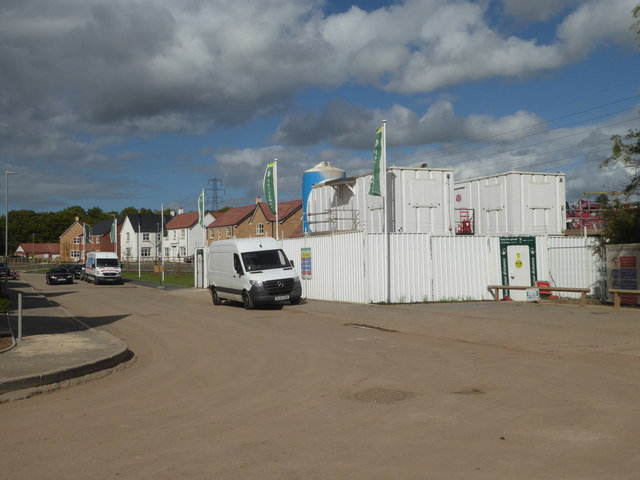
Image: © Chris Allen Taken: 22 Aug 2020
This is Swinesherd Way by the contractor's compound. To the left is a mixture of completed houses and houses under construction while behind the photographer is contractor only access to unfinished houses. This is going to be a big complex. What strikes you while walking around developments on a weekend is just how there are virtually no other people on foot - you see people in houses and gardens, and people in vehicles but I was alone in actually covering the ground on foot.
Images are licensed for reuse under creativecommons.org/licenses/by-sa/2.0
Image Location
Latitude
52.183131
Longitude
-2.17371