Woodside of Dava
Introduction
The photograph on this page of Woodside of Dava by Anne Burgess as part of the Geograph project.
The Geograph project started in 2005 with the aim of publishing, organising and preserving representative images for every square kilometre of Great Britain, Ireland and the Isle of Man.

There are currently over 7.5m images from over 14,400 individuals and you can help contribute to the project by visiting https://www.geograph.org.uk
Woodside of Dava
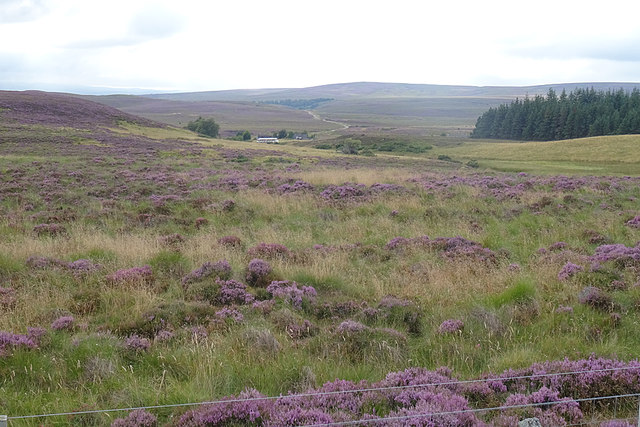
Image: © Anne Burgess Taken: 19 Aug 2020
You can barely see Woodside from here, in fact, especially without sunshine to pick it out. The first edition of the six-inch Ordnance Survey map shows the Dava Inn on that site, and the second edition omits the inn but adds a school house. The road snaking into the distance is the minor road to Carrbridge via Lochindorb.
Images are licensed for reuse under creativecommons.org/licenses/by-sa/2.0
Image Location
Latitude
57.424816
Longitude
-3.660205