Bromyard viewed from the Bromyard Downs
Introduction
The photograph on this page of Bromyard viewed from the Bromyard Downs by Mat Fascione as part of the Geograph project.
The Geograph project started in 2005 with the aim of publishing, organising and preserving representative images for every square kilometre of Great Britain, Ireland and the Isle of Man.

There are currently over 7.5m images from over 14,400 individuals and you can help contribute to the project by visiting https://www.geograph.org.uk
Bromyard viewed from the Bromyard Downs
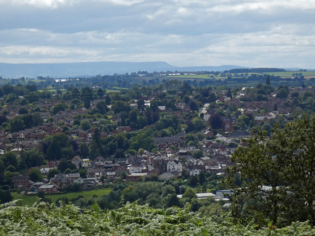
Image: © Mat Fascione Taken: 28 Jul 2020
Bromyard Downs is a 114 hectares area of common land, it rises to over 700 feet, overlooking the town of Bromyard.
Images are licensed for reuse under creativecommons.org/licenses/by-sa/2.0
Image Location
Latitude
52.194398
Longitude
-2.485218