Corner of outbuilding, Fell Side
Introduction
The photograph on this page of Corner of outbuilding, Fell Side by Adrian Taylor as part of the Geograph project.
The Geograph project started in 2005 with the aim of publishing, organising and preserving representative images for every square kilometre of Great Britain, Ireland and the Isle of Man.

There are currently over 7.5m images from over 14,400 individuals and you can help contribute to the project by visiting https://www.geograph.org.uk
Corner of outbuilding, Fell Side
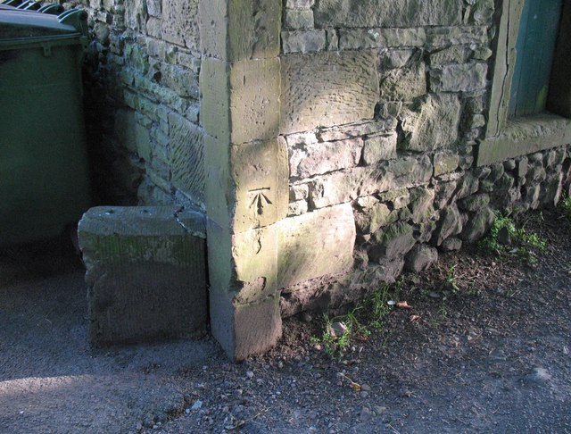
Image: © Adrian Taylor Taken: 17 Aug 2016
Detail of the sandstone quoins on the corner of an outbuilding beside The Cumbria Way at the former Fellside Manor, now YHA Caldbeck. On the left is a truncated sandstone wall that at one time carried decorative iron railings. There is an Ordnance Survey cut benchmark on one of the quoins (photograph Image).
Images are licensed for reuse under creativecommons.org/licenses/by-sa/2.0
Image Location
Latitude
54.728019
Longitude
-3.081005