Danehill 4E Public Footpath
Introduction
The photograph on this page of Danehill 4E Public Footpath by Simon Carey as part of the Geograph project.
The Geograph project started in 2005 with the aim of publishing, organising and preserving representative images for every square kilometre of Great Britain, Ireland and the Isle of Man.

There are currently over 7.5m images from over 14,400 individuals and you can help contribute to the project by visiting https://www.geograph.org.uk
Danehill 4E Public Footpath
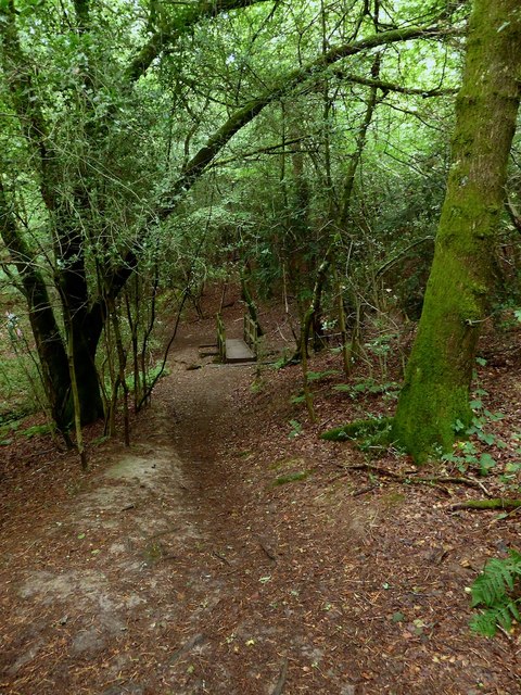
Image: © Simon Carey Taken: 20 Aug 2020
Linking School Lane to Boxes Lane and here threading its way through woodland that was once an open field called Lower Home Field according to Fletching's 1840 tithe map.
Images are licensed for reuse under creativecommons.org/licenses/by-sa/2.0
Image Location
Latitude
51.03449
Longitude
0.006137