Cul-de-sac, Lippiatt Lane
Introduction
The photograph on this page of Cul-de-sac, Lippiatt Lane by Derek Harper as part of the Geograph project.
The Geograph project started in 2005 with the aim of publishing, organising and preserving representative images for every square kilometre of Great Britain, Ireland and the Isle of Man.

There are currently over 7.5m images from over 14,400 individuals and you can help contribute to the project by visiting https://www.geograph.org.uk
Cul-de-sac, Lippiatt Lane
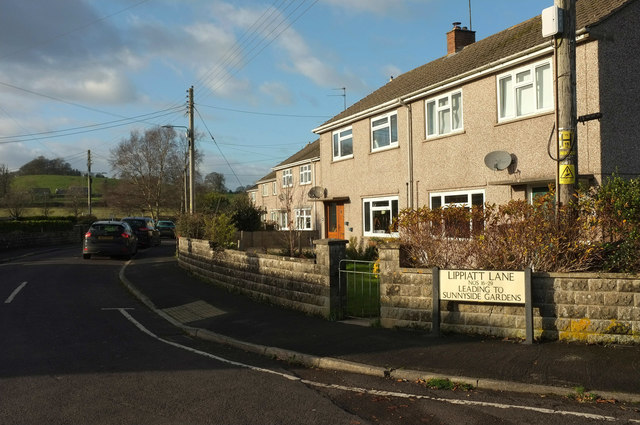
Image: © Derek Harper Taken: 9 Dec 2019
The addresses of houses in this close is still Lippiatt Lane. The hill in the background is The Sleight.
Images are licensed for reuse under creativecommons.org/licenses/by-sa/2.0
Image Location
Latitude
51.329668
Longitude
-2.476031