Steeple Bumpstead: down Church Street
Introduction
The photograph on this page of Steeple Bumpstead: down Church Street by John Sutton as part of the Geograph project.
The Geograph project started in 2005 with the aim of publishing, organising and preserving representative images for every square kilometre of Great Britain, Ireland and the Isle of Man.

There are currently over 7.5m images from over 14,400 individuals and you can help contribute to the project by visiting https://www.geograph.org.uk
Steeple Bumpstead: down Church Street
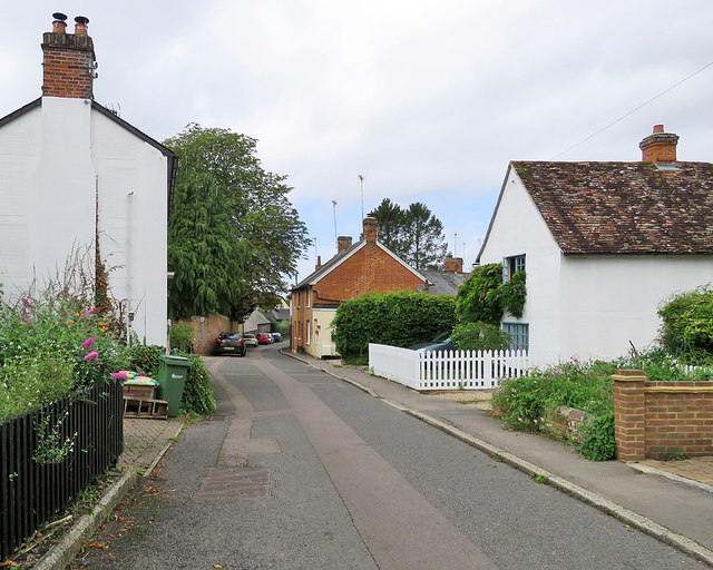
Image: © John Sutton Taken: 20 Aug 2020
The red-brick house in the centre is Gardener's Cottage.
Images are licensed for reuse under creativecommons.org/licenses/by-sa/2.0
Image Location
Latitude
52.042706
Longitude
0.446017