Crock Barton, Timsbury
Introduction
The photograph on this page of Crock Barton, Timsbury by Derek Harper as part of the Geograph project.
The Geograph project started in 2005 with the aim of publishing, organising and preserving representative images for every square kilometre of Great Britain, Ireland and the Isle of Man.

There are currently over 7.5m images from over 14,400 individuals and you can help contribute to the project by visiting https://www.geograph.org.uk
Crock Barton, Timsbury
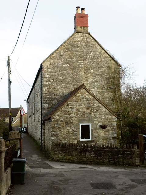
Image: © Derek Harper Taken: 9 Dec 2019
The end of a listed terrace described at https://historicengland.org.uk/listing/the-list/list-entry/1135990 . Rectory Lane performs a right-angled bend in front of the camera, while footpath CL 21/43 continues ahead past the terrace and along Chapel Walk; the footpath sign on the left would suggest it goes right.
Images are licensed for reuse under creativecommons.org/licenses/by-sa/2.0
Image Location
Latitude
51.326527
Longitude
-2.474564