Chapel House
Introduction
The photograph on this page of Chapel House by Richard Croft as part of the Geograph project.
The Geograph project started in 2005 with the aim of publishing, organising and preserving representative images for every square kilometre of Great Britain, Ireland and the Isle of Man.

There are currently over 7.5m images from over 14,400 individuals and you can help contribute to the project by visiting https://www.geograph.org.uk
Chapel House
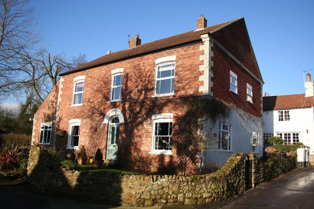
Image: © Richard Croft Taken: 12 Jan 2008
Originally the United Methodist Free Church built in 1857, converted to a house in 1900
Images are licensed for reuse under creativecommons.org/licenses/by-sa/2.0
Image Location
Latitude
53.400208
Longitude
-0.262935