Former route of the Aldermaston Road
Introduction
The photograph on this page of Former route of the Aldermaston Road by Mr Ignavy as part of the Geograph project.
The Geograph project started in 2005 with the aim of publishing, organising and preserving representative images for every square kilometre of Great Britain, Ireland and the Isle of Man.

There are currently over 7.5m images from over 14,400 individuals and you can help contribute to the project by visiting https://www.geograph.org.uk
Former route of the Aldermaston Road
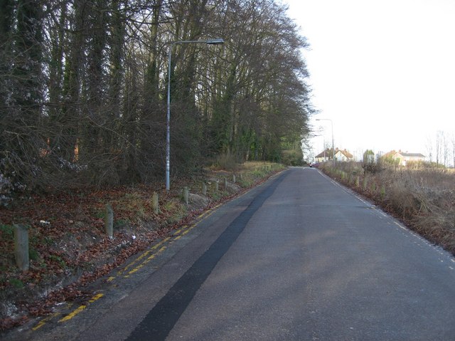
Image: © Mr Ignavy Taken: 12 Jan 2008
Looking north with the North Hants Hospital to the left. Although open to traffic very few cars use this road.
Images are licensed for reuse under creativecommons.org/licenses/by-sa/2.0
Image Location
Latitude
51.28274
Longitude
-1.109117