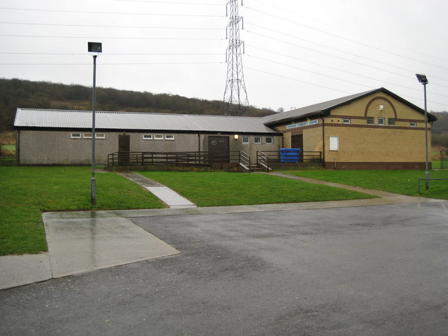
Dunstable: Downside Community Centre
Introduction
The photograph on this page of Dunstable: Downside Community Centre by Nigel Cox as part of the Geograph project.
The Geograph project started in 2005 with the aim of publishing, organising and preserving representative images for every square kilometre of Great Britain, Ireland and the Isle of Man.
There are currently over 7.5m images from over 14,400 individuals and you can help contribute to the project by visiting https://www.geograph.org.uk

Image: © Nigel Cox Taken: 11 Jan 2008
A quick glance at a recent online programme of events showed that a wide range of interests are catered for at the centre, ranging from baton twirling to a model railway club, via ninjitsi. It is located at the south-eastern end of Suffolk Road on the Downside Estate. The building at the right is relatively new and does not show on the Ordnance Survey 1:10,000 scale mapping.

