Private Land - Keep Out, Chartist Rise, Monmouth
Introduction
The photograph on this page of Private Land - Keep Out, Chartist Rise, Monmouth by Jaggery as part of the Geograph project.
The Geograph project started in 2005 with the aim of publishing, organising and preserving representative images for every square kilometre of Great Britain, Ireland and the Isle of Man.

There are currently over 7.5m images from over 14,400 individuals and you can help contribute to the project by visiting https://www.geograph.org.uk
Private Land - Keep Out, Chartist Rise, Monmouth
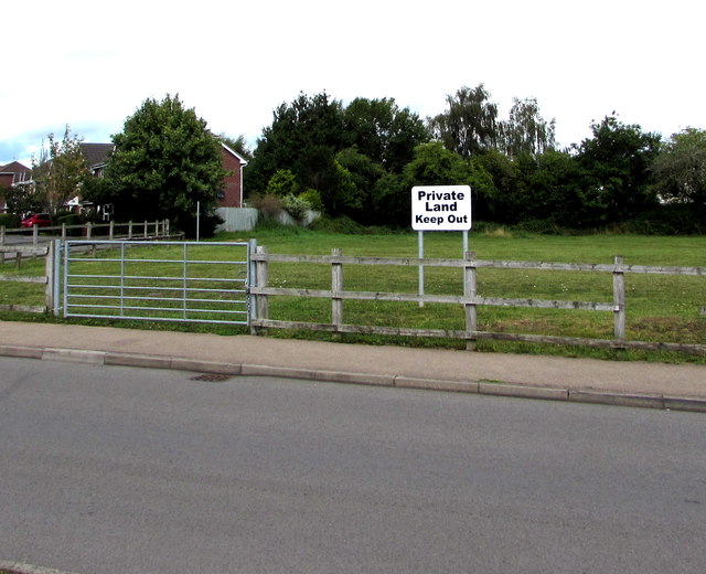
Image: © Jaggery Taken: 18 Aug 2020
Viewed in August 2020. Neither the sign nor fences were here in a June 2011 Google Street View.
Images are licensed for reuse under creativecommons.org/licenses/by-sa/2.0
Image Location
Latitude
51.81184
Longitude
-2.728997