View of Upper Lintz Farm
Introduction
The photograph on this page of View of Upper Lintz Farm by Robert Graham as part of the Geograph project.
The Geograph project started in 2005 with the aim of publishing, organising and preserving representative images for every square kilometre of Great Britain, Ireland and the Isle of Man.

There are currently over 7.5m images from over 14,400 individuals and you can help contribute to the project by visiting https://www.geograph.org.uk
View of Upper Lintz Farm
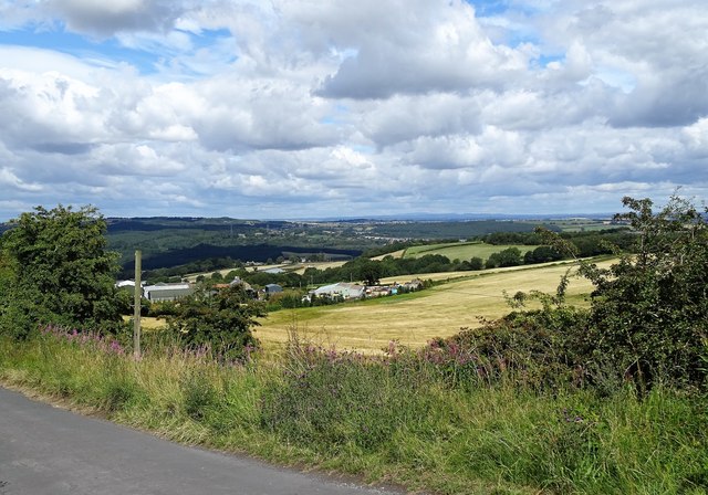
Image: © Robert Graham Taken: 3 Aug 2020
Looking from the road at Mountsett, to the south. There are superb views from here high up on the valley side, over the Derwent Valley and into Northumberland. You can actually see all the way to the Cheviots, 70km to the north. These are the faint hills on the horizon above the last farm buildings on the right.
Images are licensed for reuse under creativecommons.org/licenses/by-sa/2.0
Image Location
Latitude
54.893792
Longitude
-1.746302