Housing near Tarbert Close
Introduction
The photograph on this page of Housing near Tarbert Close by Luke Shaw as part of the Geograph project.
The Geograph project started in 2005 with the aim of publishing, organising and preserving representative images for every square kilometre of Great Britain, Ireland and the Isle of Man.

There are currently over 7.5m images from over 14,400 individuals and you can help contribute to the project by visiting https://www.geograph.org.uk
Housing near Tarbert Close
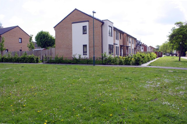
Image: © Luke Shaw Taken: 11 May 2019
Ordnance Survey documents indicate that in 1981 a benchmark levelled at 25.49m above Newlyn Datum was verified on the entrance to No. 14 Tarbert Close
Images are licensed for reuse under creativecommons.org/licenses/by-sa/2.0
Image Location
Latitude
52.941352
Longitude
-1.157283