Road down to houses
Introduction
The photograph on this page of Road down to houses by DS Pugh as part of the Geograph project.
The Geograph project started in 2005 with the aim of publishing, organising and preserving representative images for every square kilometre of Great Britain, Ireland and the Isle of Man.

There are currently over 7.5m images from over 14,400 individuals and you can help contribute to the project by visiting https://www.geograph.org.uk
Road down to houses
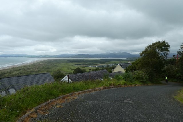
Image: © DS Pugh Taken: 1 Aug 2020
Looking down a side street leading to some houses with views over Harlech Bay.
Images are licensed for reuse under creativecommons.org/licenses/by-sa/2.0
Image Location
Latitude
52.852214
Longitude
-4.110976