Mystery stone in a field
Introduction
The photograph on this page of Mystery stone in a field by Gordon Hatton as part of the Geograph project.
The Geograph project started in 2005 with the aim of publishing, organising and preserving representative images for every square kilometre of Great Britain, Ireland and the Isle of Man.

There are currently over 7.5m images from over 14,400 individuals and you can help contribute to the project by visiting https://www.geograph.org.uk
Mystery stone in a field
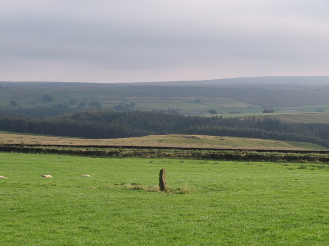
Image: © Gordon Hatton Taken: 14 Aug 2020
A single stone around 1.5m high in the middle of a pasture close by the junction of Fall Lane and Sandy Gate Road. It isn't a boundary stone, but examination of 19thC maps shows an extra field boundary here [now gone] and I assume that this was once a gatepost. The view is towards the wooded flanks of the Washburn valley above Thruscross Reservoir.
Images are licensed for reuse under creativecommons.org/licenses/by-sa/2.0
Image Location
Latitude
54.034435
Longitude
-1.780871