Path by a wheat field
Introduction
The photograph on this page of Path by a wheat field by Bill Boaden as part of the Geograph project.
The Geograph project started in 2005 with the aim of publishing, organising and preserving representative images for every square kilometre of Great Britain, Ireland and the Isle of Man.

There are currently over 7.5m images from over 14,400 individuals and you can help contribute to the project by visiting https://www.geograph.org.uk
Path by a wheat field
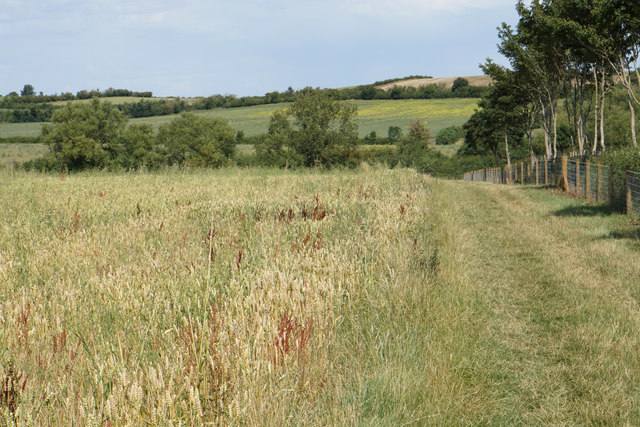
Image: © Bill Boaden Taken: 7 Aug 2020
The path goes over Hanson Hill which can be seen rising ahead. There are a lot of impurities in the wheat and the tares seem to be taking over.
Images are licensed for reuse under creativecommons.org/licenses/by-sa/2.0
Image Location
Latitude
52.049921
Longitude
-1.640208