Dodscott Wood
Introduction
The photograph on this page of Dodscott Wood by Derek Harper as part of the Geograph project.
The Geograph project started in 2005 with the aim of publishing, organising and preserving representative images for every square kilometre of Great Britain, Ireland and the Isle of Man.

There are currently over 7.5m images from over 14,400 individuals and you can help contribute to the project by visiting https://www.geograph.org.uk
Dodscott Wood
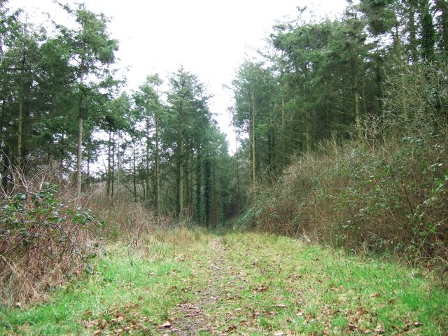
Image: © Derek Harper Taken: 4 Jan 2008
Looking along the track shown in Image from the vehicle barrier. According to the maps, the track continues through the access woodland for two miles towards Stoney Ford.
Images are licensed for reuse under creativecommons.org/licenses/by-sa/2.0
Image Location


Leaflet Map data © OpenStreetMap
Latitude
50.963607
Longitude
-4.07846