14-16, Primrose Road
Introduction
The photograph on this page of 14-16, Primrose Road by John Baker as part of the Geograph project.
The Geograph project started in 2005 with the aim of publishing, organising and preserving representative images for every square kilometre of Great Britain, Ireland and the Isle of Man.

There are currently over 7.5m images from over 14,400 individuals and you can help contribute to the project by visiting https://www.geograph.org.uk
14-16, Primrose Road
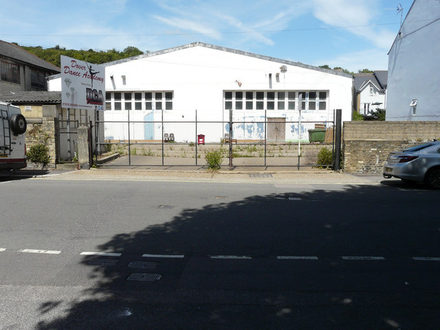
Image: © John Baker Taken: 18 Jul 2020
Viewed from Coombe Valley Road, planning permission has been granted by Dover District Council under application number DOV/20/00162 for an “outline application for the erection of 4 dwellings with associated access and parking with (all matters reserved) (existing dwellings to be demolished)”.
Images are licensed for reuse under creativecommons.org/licenses/by-sa/2.0
Image Location
Latitude
51.133175
Longitude
1.294104