Trentside wharf at Fiskerton
Introduction
The photograph on this page of Trentside wharf at Fiskerton by Alan Murray-Rust as part of the Geograph project.
The Geograph project started in 2005 with the aim of publishing, organising and preserving representative images for every square kilometre of Great Britain, Ireland and the Isle of Man.

There are currently over 7.5m images from over 14,400 individuals and you can help contribute to the project by visiting https://www.geograph.org.uk
Trentside wharf at Fiskerton
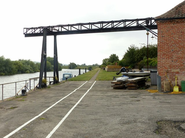
Image: © Alan Murray-Rust Taken: 9 Aug 2020
The major traffic was malt and barley from the surrounding agricultural area. There were formerly several malthouses with gantries, but this is the last survivor, the building itself being converted into a house http://www.geograph.org.uk/photo/6568192
Images are licensed for reuse under creativecommons.org/licenses/by-sa/2.0
Image Location
Latitude
53.051463
Longitude
-0.902414