Old Guide Stone by the A684 in Harmby
Introduction
The photograph on this page of Old Guide Stone by the A684 in Harmby by Milestone Society as part of the Geograph project.
The Geograph project started in 2005 with the aim of publishing, organising and preserving representative images for every square kilometre of Great Britain, Ireland and the Isle of Man.

There are currently over 7.5m images from over 14,400 individuals and you can help contribute to the project by visiting https://www.geograph.org.uk
Old Guide Stone by the A684 in Harmby
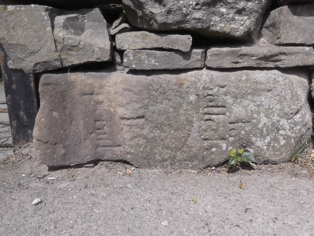
Image: © Milestone Society Taken: 28 May 2018
Re-used guide stone by the A684, in parish of Leyburn (Richmondshire District), Harmby, West of The Pheasant Inn, sideways, at base of short wall between metal gate & rendered house. Surveyed Milestone Society National ID: YN_XLEYf
Images are licensed for reuse under creativecommons.org/licenses/by-sa/2.0
Image Location
Latitude
54.30464
Longitude
-1.806334